
ExtremaduraAutomatic route
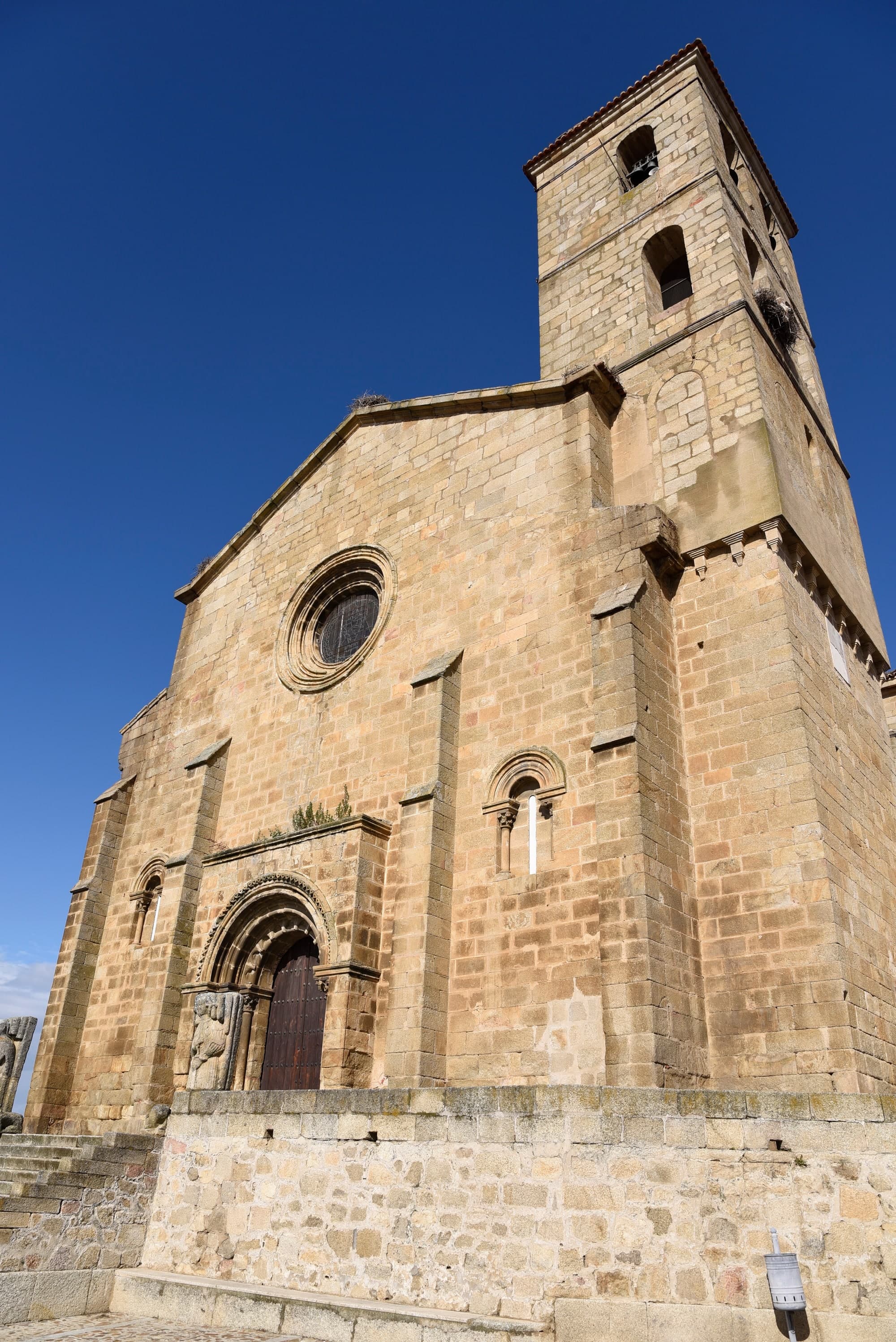
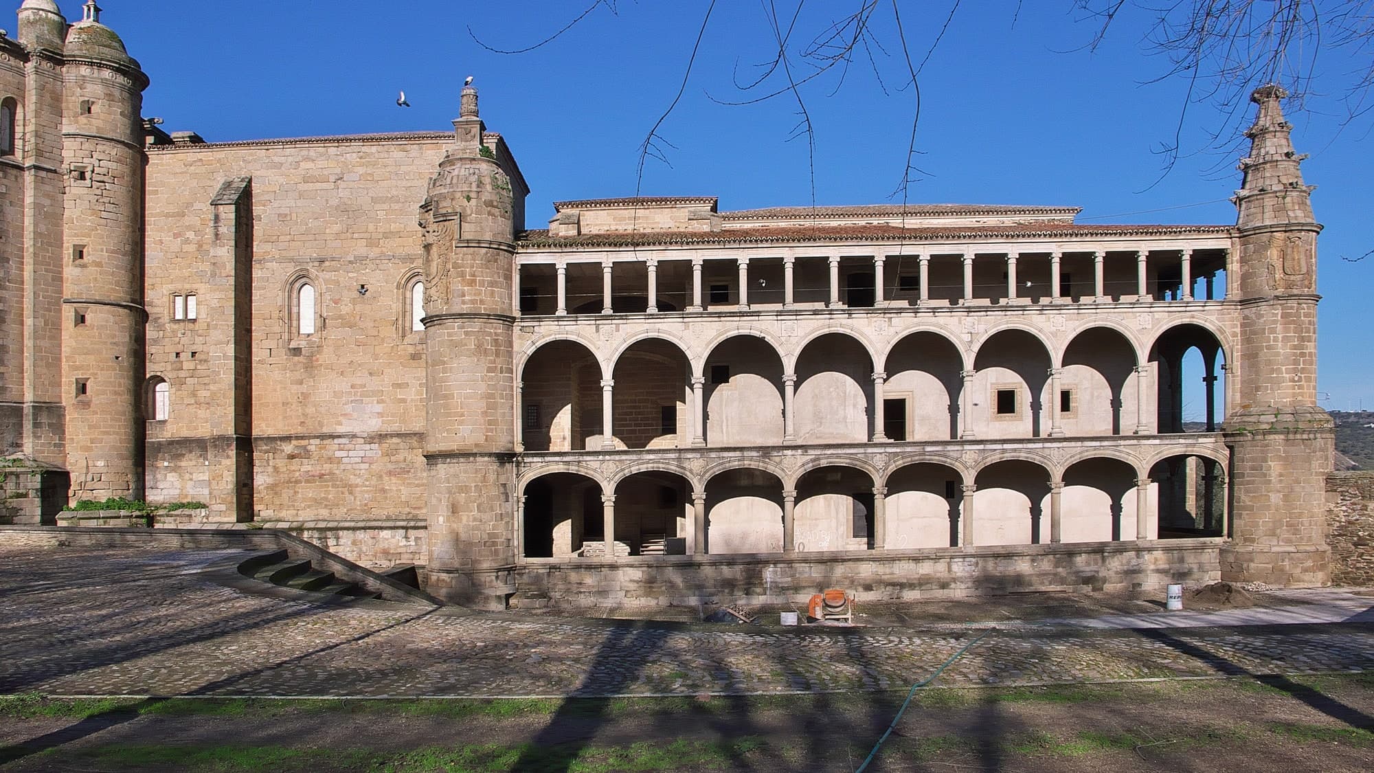
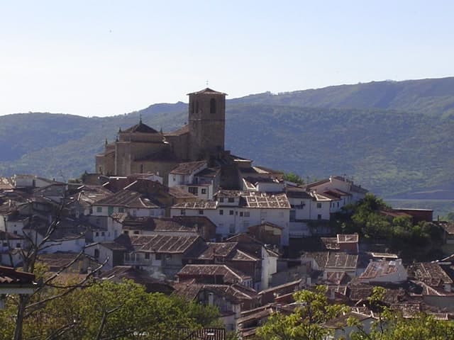
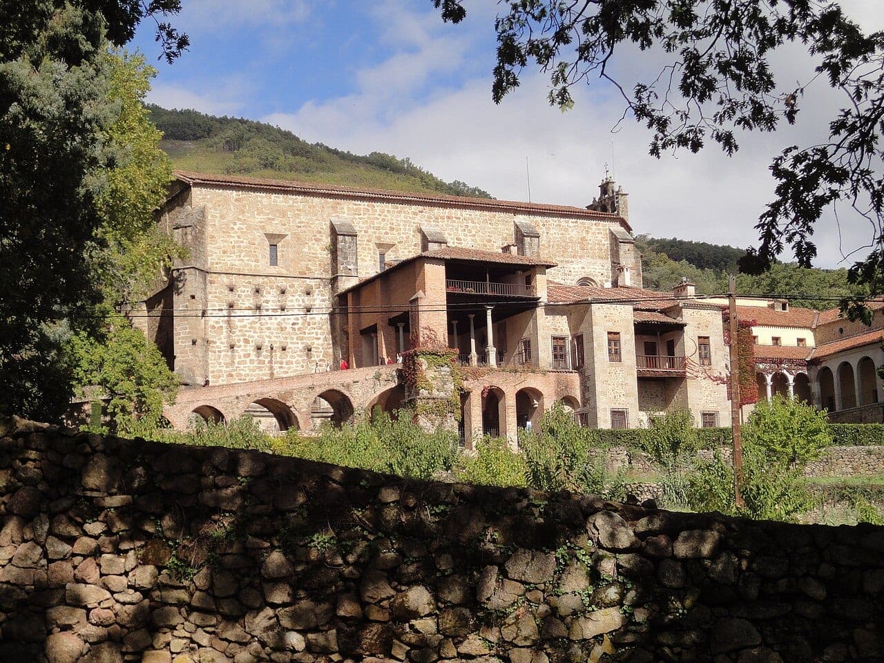
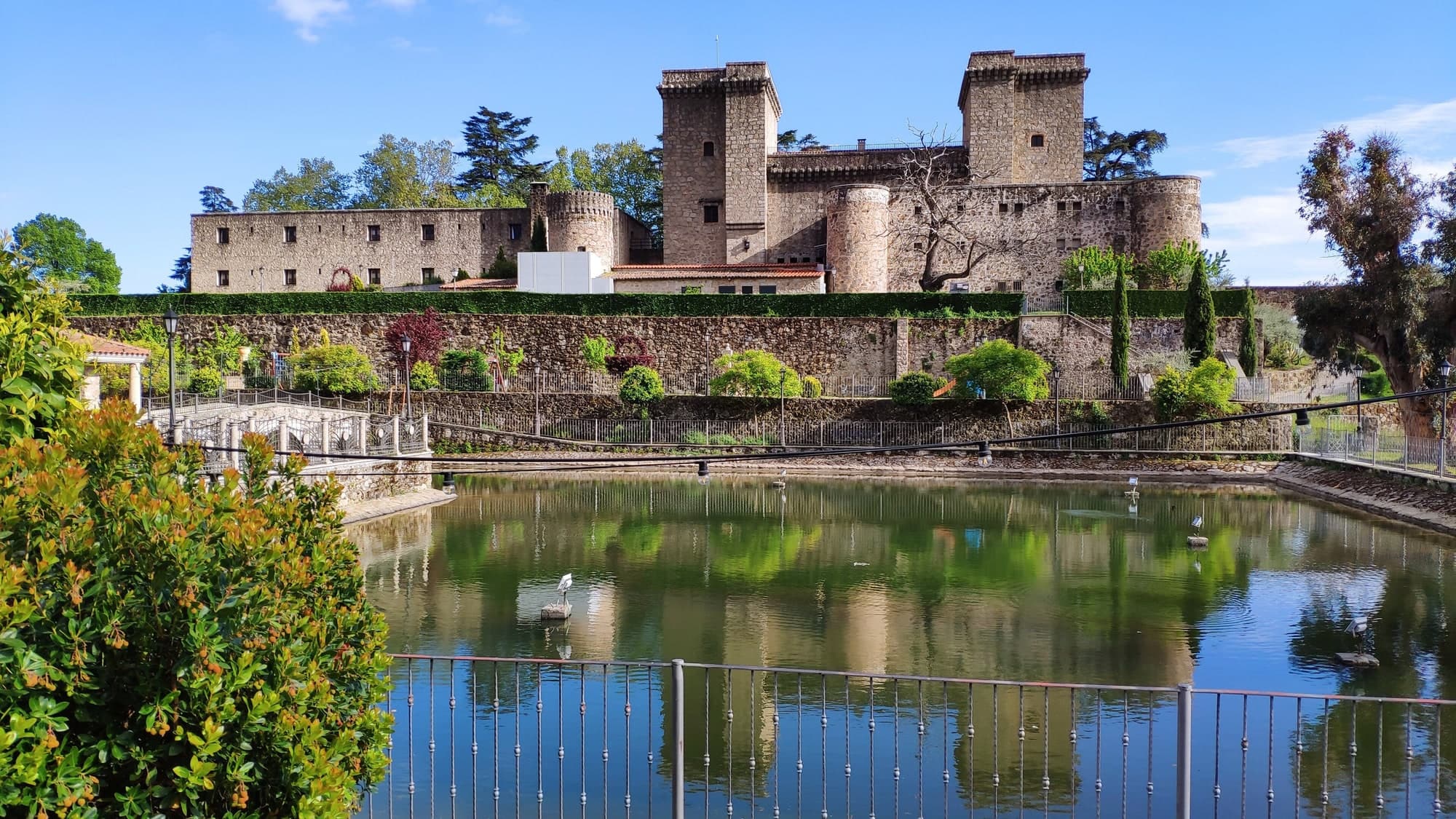
Extremadura route: Iglesia de Santa María de Almocóvar - Jarandilla de la Vera Castle
Automatically generated route with 6 monuments (Extremadura), designed to be driven in order of geographical proximity. Approximate total distance: 135.2 km.
Distance
135.2 km
Estimated time
1 h 48 min
Views
5
Comments
0
Itinerary
- 1
Cáceres
Go with: Google · Waze · Apple Maps
- 2
Cáceres · +0.2 km from the previous stop
Go with: Google · Waze · Apple Maps
- 3
Cáceres · +41.6 km from the previous stop
Go with: Google · Waze · Apple Maps
- 4
Cáceres · +66.1 km from the previous stop
Go with: Google · Waze · Apple Maps
- 5
Cáceres · +20.5 km from the previous stop
Go with: Google · Waze · Apple Maps
- 6
Cáceres · +6.8 km from the previous stop
Go with: Google · Waze · Apple Maps

Comments
Log in to leave a comment.