
Zumaia Flysch
Description
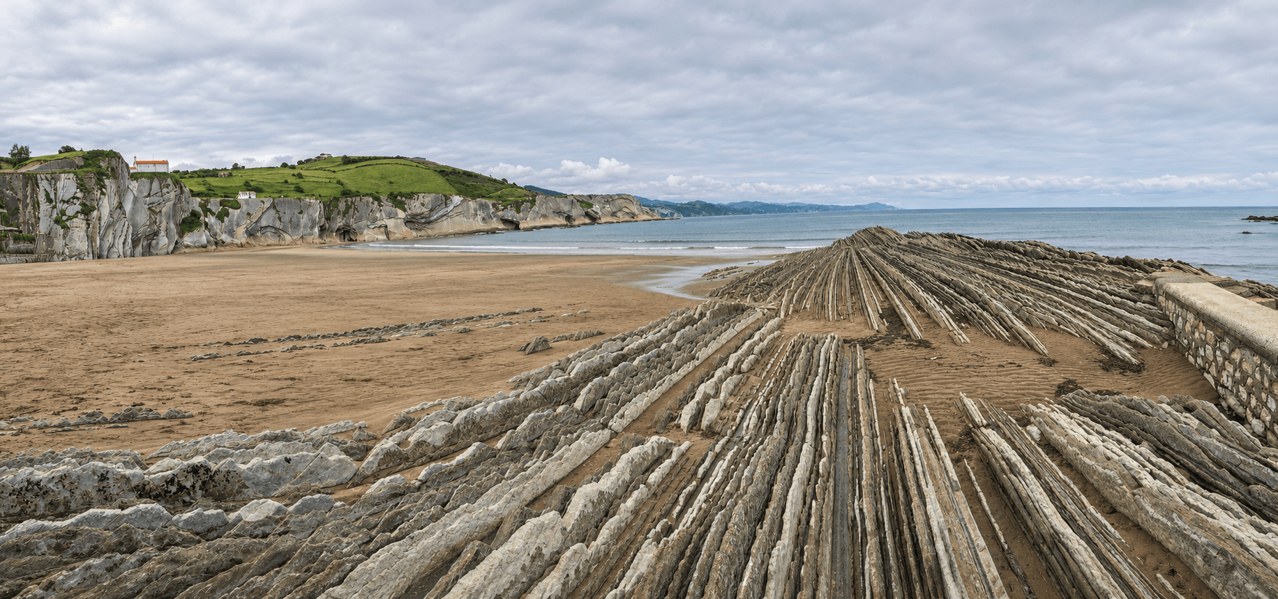
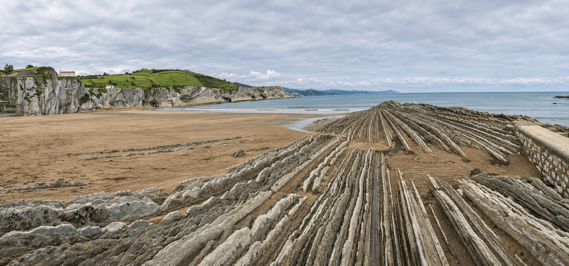
Few coastlines let you read the history of the Earth quite like this stretch of the Gipuzkoan shore. Between Deba and Zumaia, in the area known as the Itzurun cliffs, the layers of sedimentary rock that make up the flysch jut out almost vertically, lined up like the pages of a gigantic book that the sea has gradually laid bare.
This is a wave-cut platform, the rocky shelf exposed at low tide that runs along much of the Basque coast. Yet the section between Haitzandi and Haitzabal, some eight kilometres long, is by far the most spectacular. Here the arrangement of the strata is so clear and complete that geologists consider it of the very first importance.
To get a sense of its value, you need only look at its peers: the geological wealth of these cliffs bears comparison only with the cliffs of the English Channel, Stevns Klint in Denmark and certain sites in the Umbria-Marche region of Italy. In other words, visitors have before them one of Europe's great natural archives, accessible on foot and with the Bay of Biscay as a backdrop.
The landscape doesn't end at Deba. To the west, the cliffs stretching from Kardala beach in Mutriku to Saturraran, in the area known as Seven Beaches, join this stretch to form the Basque Coast Geopark, which reaches as far as the border with Biscay. It's well worth checking the tides before you go: at low water, the platform unfolds in all its breadth and the lines of the flysch stand out with an unforgettable sharpness.
Community photos
Log in to upload your photos of this place.
Best time to visit
From May to September, to avoid the more frequent rain of the rest of the year.
Location
More nature nearby
 Rock formation
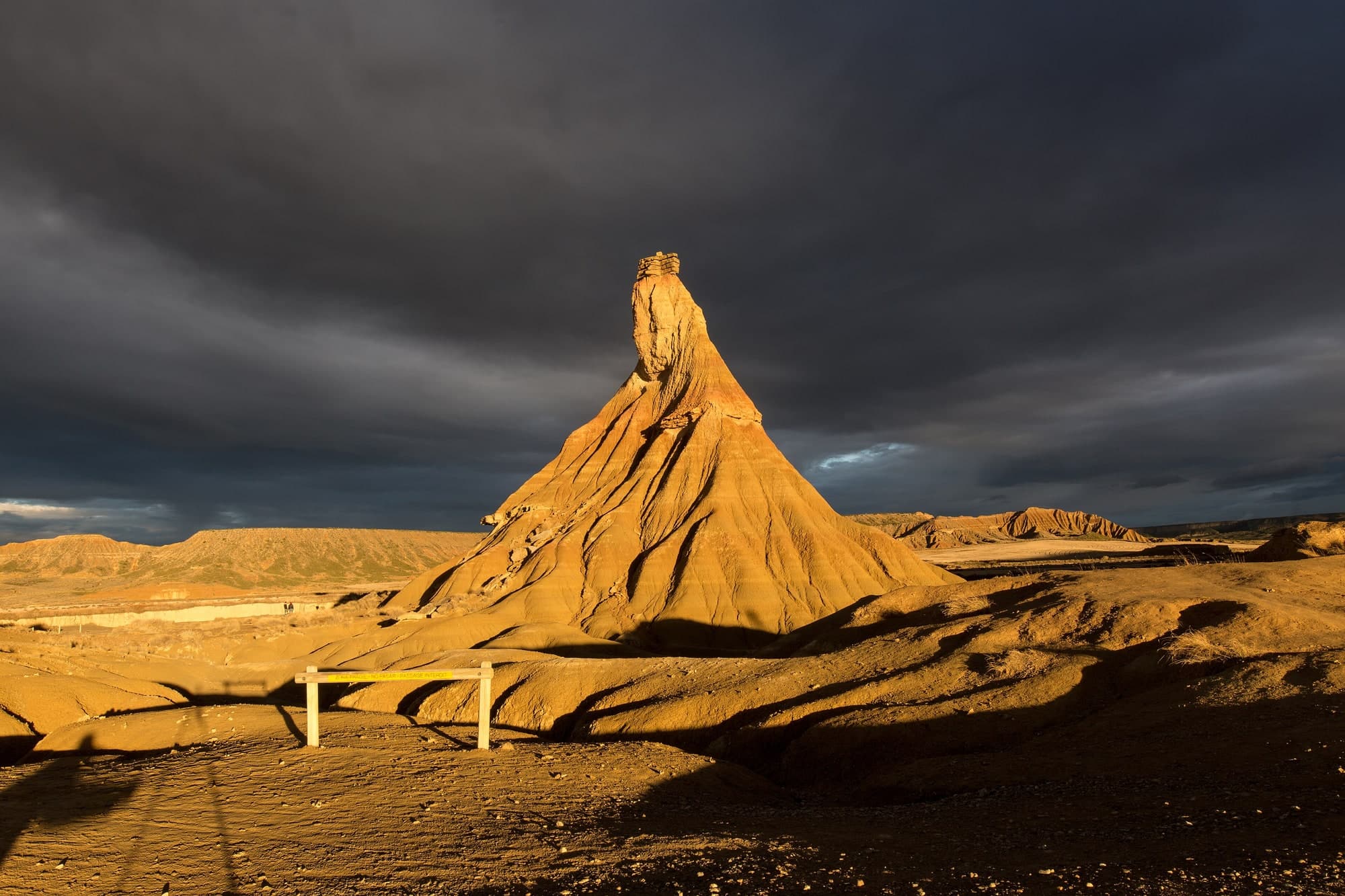
Bardenas Reales
Un paraje semidesértico en el sureste de Navarra, reserva de la Biosfera y parque natural, con una historia de propiedad y gobierno única que se remonta a la Corona navarra.
 Waterfall
Cascada de Gujuli
Un salto vertical de más de 100 metros del arroyo Oiardo, rodeado de hayedos y robledales, al que se llega con un paseo sencillo de un cuarto de hora.
 Waterfall
Salto del Nervión
Con 222 metros de caída, el Salto del Nervión es la cascada más alta de la península ibérica, un espectáculo efímero que solo cobra vida con las lluvias y el deshielo.
 Cave
Cueva de El Soplao
Una cueva de la sierra de Arnero, en Cantabria, célebre por la abundancia y calidad de sus formaciones, entre ellas excéntricas helíctitas que parecen desafiar la gravedad.